Land Surveying and Geomatics
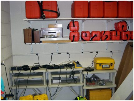
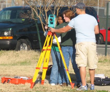
Although no dedicated physical laboratory space is required, the CIET program maintains an array of land surveying instrumentation and equipment which is stored in Smith 127 (123 ft2) when not in use. This equipment is used in support of its two required surveying courses, ETCE 1211 & ETCE 2112, and advanced surveying electives including ETCE 4073: Global Positioning Systems. Students are challenged to learn the concepts of standards, units, and calibration of equipment, measurement of distance, elevation, angles, and analysis of systematic and random errors in the measurement, adjustments of measurements, weighting, principle of the compass rule and construction surveying. This is accomplished through the use of tapes, levels, total stations and rods.
There is a large collection of equipment and instrumentation available for instructional use by the students during the delivery of the two courses. The available equipment includes ten (10) Automatic levels with tripods and elevation rods, ten (10) Sokia electronic Total Stations with tripods and elevation prisms, ten (10) 100-ft steel tapes, and other associated miscellaneous survey supplies. This equipment is also used to support our Highway Design course ETCE 4251 and various senior design projects (ETCE 4272). Additionally, eight (8) SPS 881 Rover Kits (receivers, GLONASS functionality and rods) and one (1) SPS8550 base station are housed in this area for the advanced surveying electives.
Survey equipment storage and charging stations

Surveying Equipment in Use
